Estate diary
Places near Mudigere, measured from the estate
25 October 2026 · 3 min read
Mudigere town is about 13 km by road from Nandipura & Indravally Estates. Belur is about 22 km, and Banakal about 26 km. Those distances begin at the estate's map pin.
For anyone looking for places to visit in Mudigere, this list starts from the estate rather than the town. The place descriptions come from public sources; the road figures were measured on 25 October 2026.
Road distances from the estate
Distances were measured from the estate on OpenStreetMap. The times are routing estimates for a clear road, not what the ghat roads take in rain. “Half-day” and “day trip” are only a way to group them.
| Group | Place | Road distance from estate | Approximate driving time |
|---|---|---|---|
| Near: under 30 km | Mudigere town | about 13 km | about 11 minutes |
| Near: under 30 km | Belur | about 22 km | about 26 minutes |
| Near: under 30 km | Banakal | about 26 km | about 20 minutes |
| Half-day | Kottigehara | about 30 km | about 23 minutes |
| Half-day | Devaramane viewpoint | about 36 km | about 37 minutes |
| Half-day | Ettina Bhuja | about 38 km | about 44 minutes |
| Half-day | Chikkamagaluru town | about 39 km | about 52 minutes |
| Half-day | Javali | about 40 km | about 33 minutes |
| Day trip | Mullayanagiri | about 45 km | about 49 minutes |
| Day trip | Ayyanakere | about 53 km | about 45 minutes |
| Day trip | Kemmangundi | about 54 km | about 49 minutes |
| Day trip | Charmadi village | about 54 km | about 39 minutes |
| Day trip | Baba Budangiri | about 56 km | about 71 minutes |
| Day trip | Kalasa | about 71 km | about 61 minutes |
| Day trip | Sringeri | about 78 km | about 74 minutes |
| Day trip | Horanadu | about 79 km | about 68 minutes |
| Day trip | Kudremukh | about 92 km | about 81 minutes |
The Devaramane figure is to the mapped viewpoint; the Charmadi figure is to the village at the foot of the ghat.
Mudigere, Devaramane and the Kalasa road
Wikipedia's account of Mudigere notes that the town is known for coffee and black pepper. It also lists Devaramane near Gutthi among the taluk's temple destinations, and describes the Kottigehara–Kalasa road through coffee and green hills.
Kottigehara is about 30 km by road from the estate; Kalasa is about 71 km.
The same account lists the Bettada Byraweshwara temple near Mekanagadde and Shankara Falls near Mudigere.
Javali and the Hemavati
Javali is about 40 km by road from the estate. Wikipedia's account of the Hemavati River identifies Javali village in Mudigere taluk as the river's source in the Western Ghats. It also records the river's course through Hassan district.
Rain and time on the road
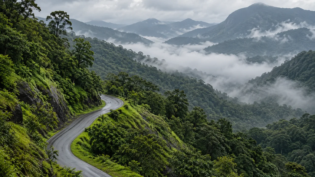
SICC's account of the Chikmagalur growing region places Mudigere in wet Malnad, describing it as more consistently humid and forested than the drier eastern Chikmagalur taluks.
Allow for that: the times in the table are for a clear road.
Time at the estate
Visits to Nandipura are by request and at no charge. They happen by arrangement, not on a schedule. The homestay is planned and is not bookable.
People who come are shown the blocks and walk the drying yard. Karthik Pattada's September film followed the Robusta blocks by jeep in rain, before the crop. Our account of walking the Robusta blocks records the planting history and irrigation decisions discussed during that visit.